
 VTT
VTT Vélo de route
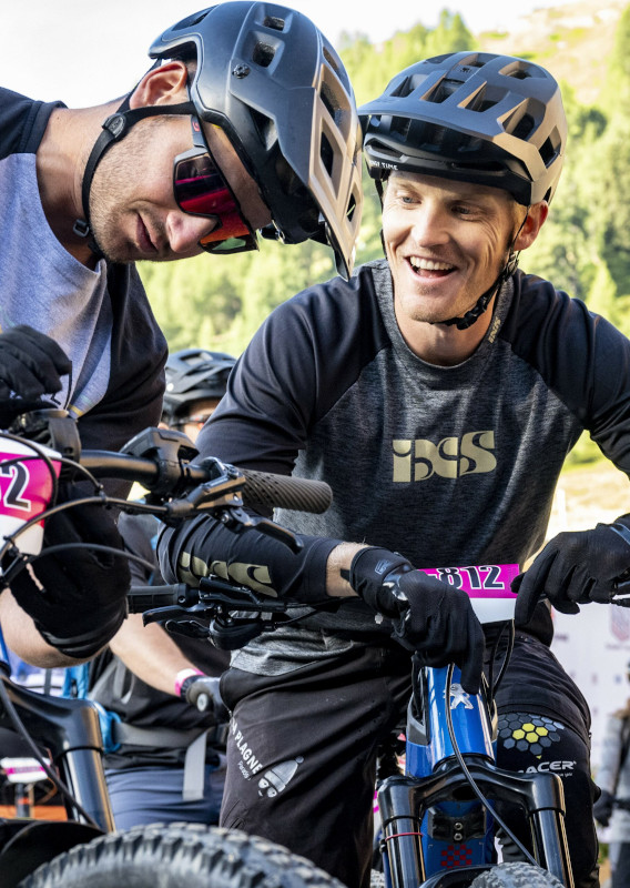
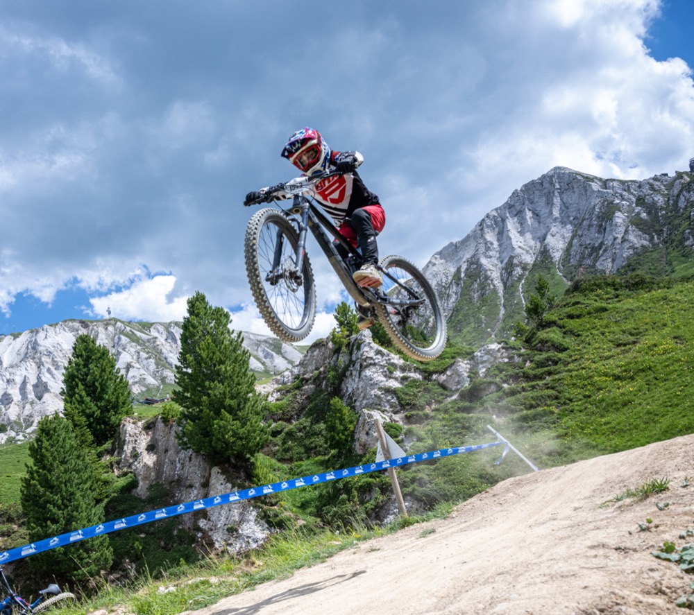
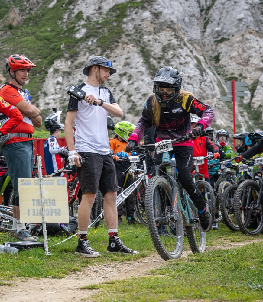
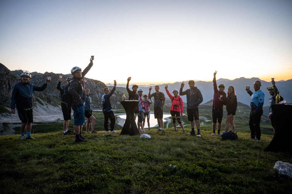
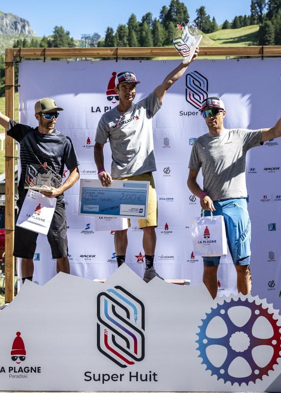
Rendez-vous majeur dans le monde du vélo, le Super8 est un événement made in la Plagne qui aura lieu du 12 au 14 juillet 2024.
Ses signes distinctifs : 4 formats d’épreuves originaux et aventureux et la promesse de découvrir des tracés d’exception servis sur un plateau d’argent. Le tout élaboré, testé et approuvé avec une équipe d’experts et d’athlètes du milieu !
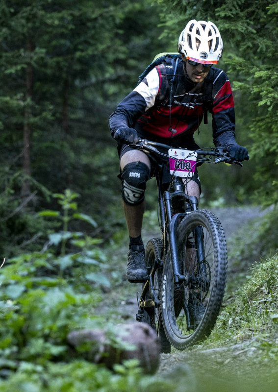
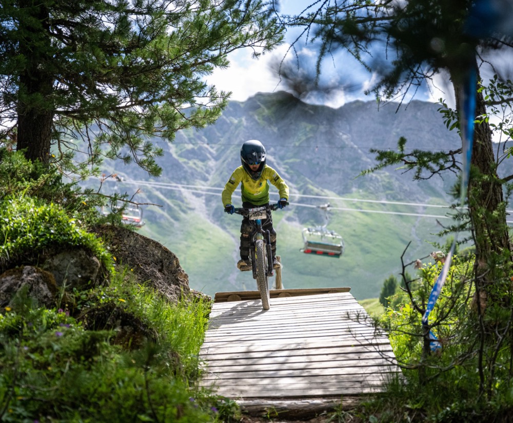
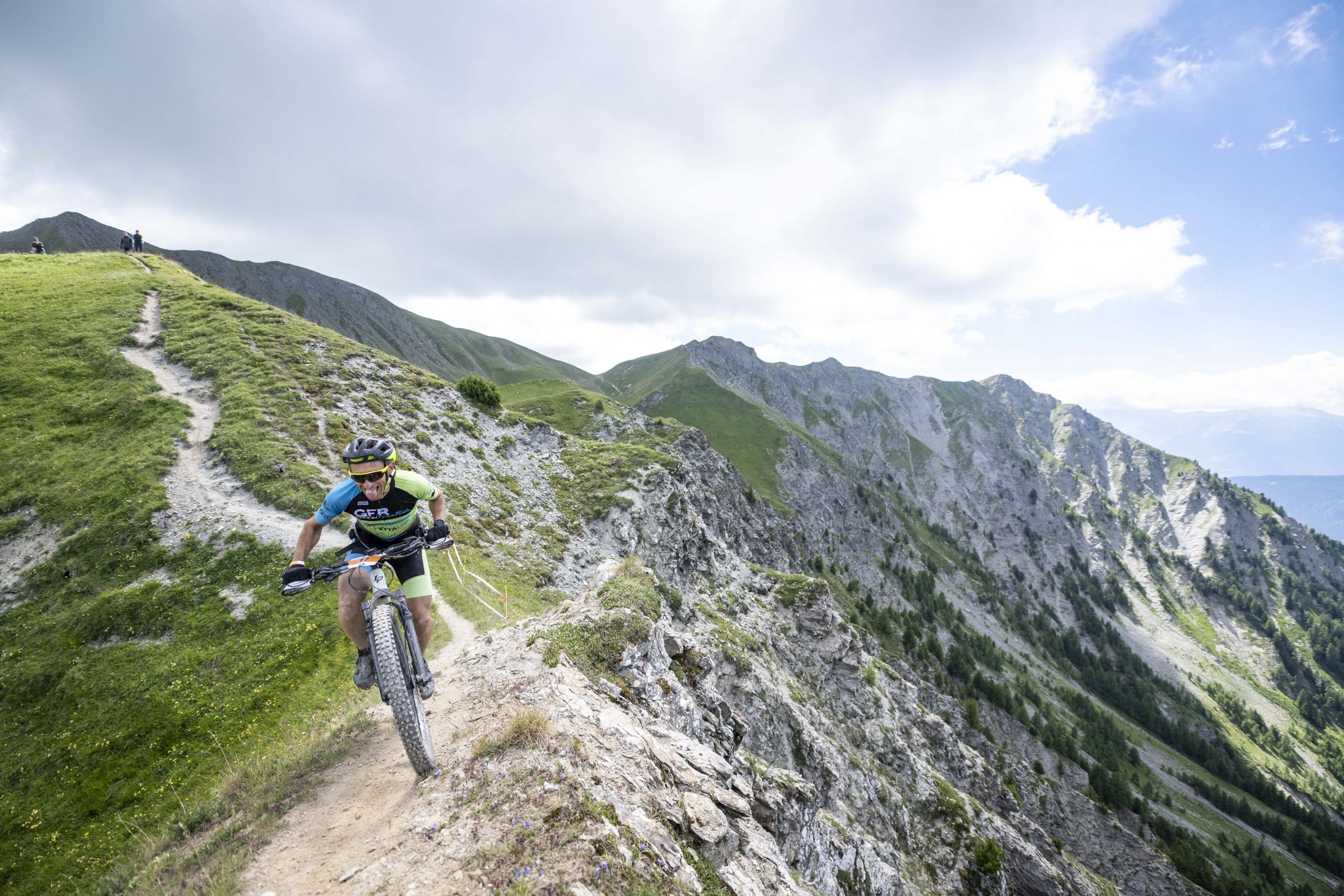
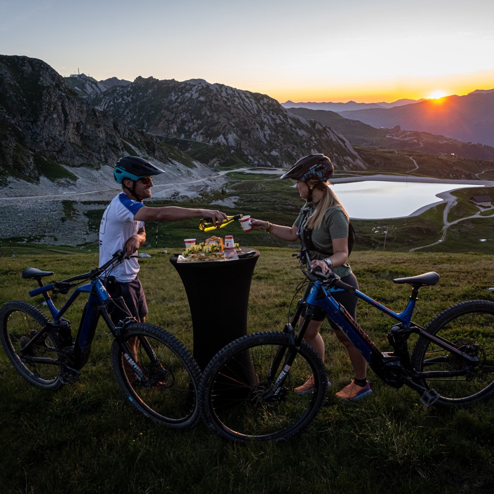
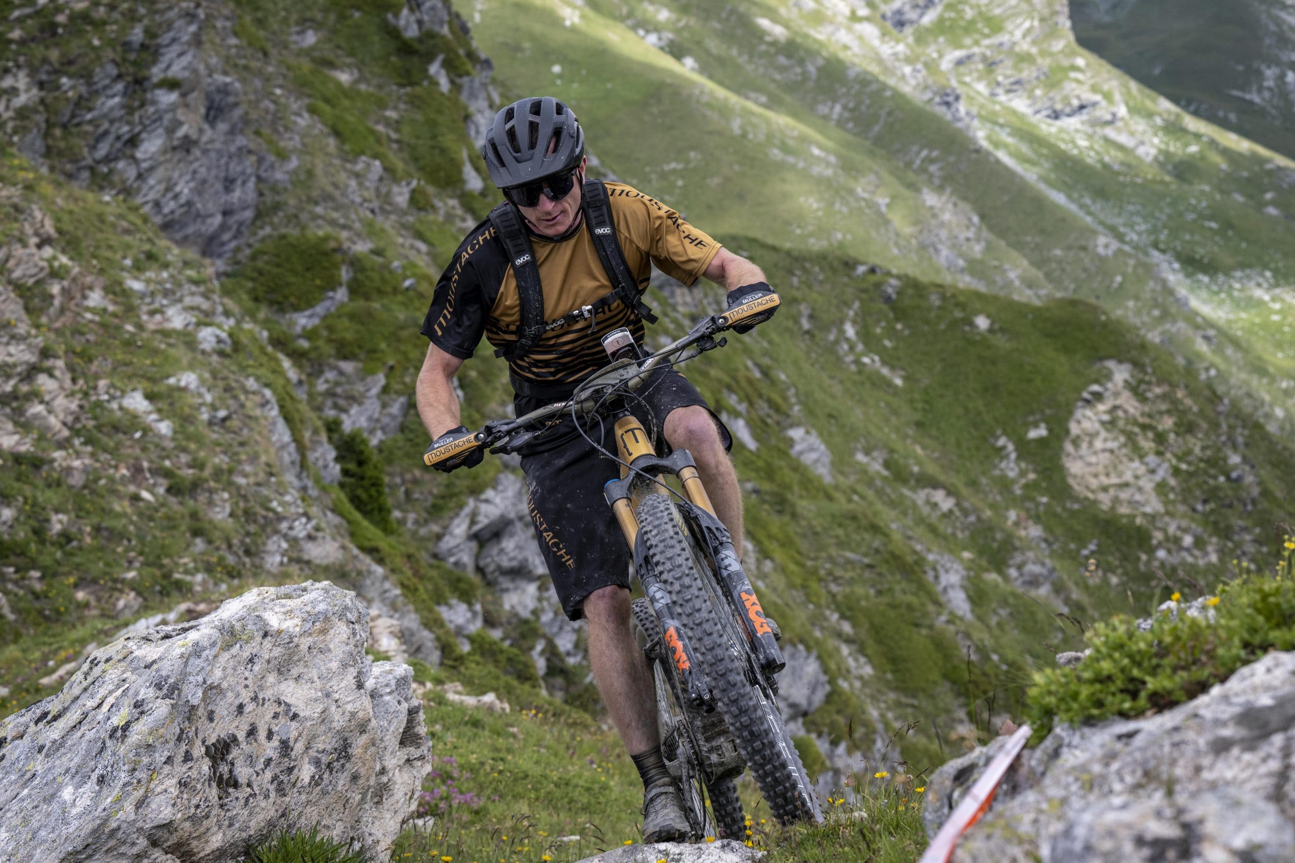
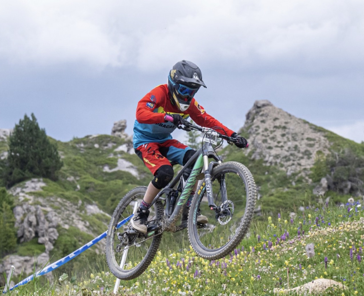
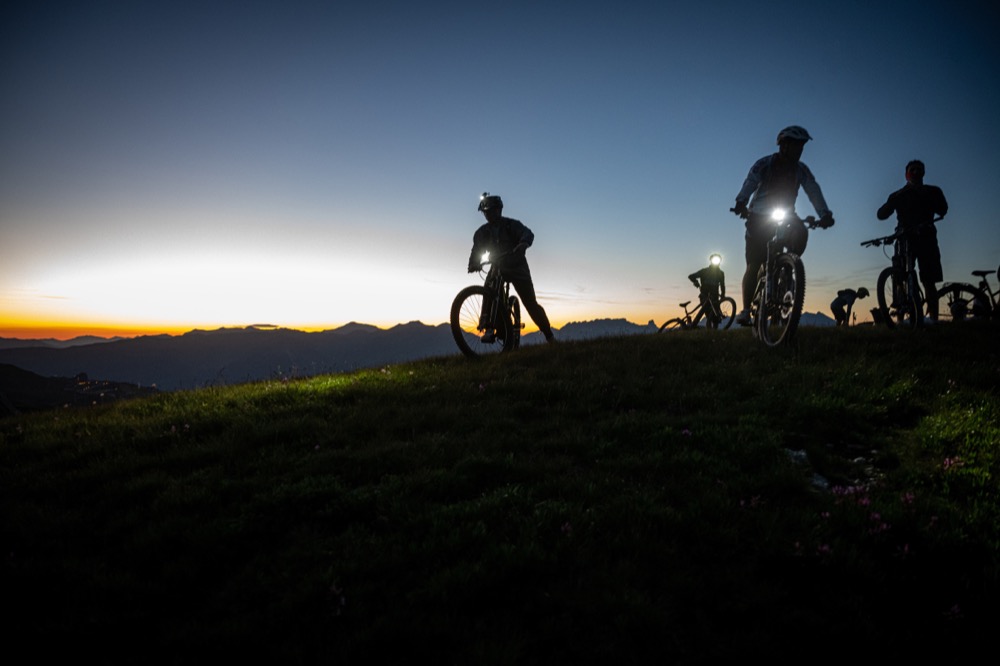
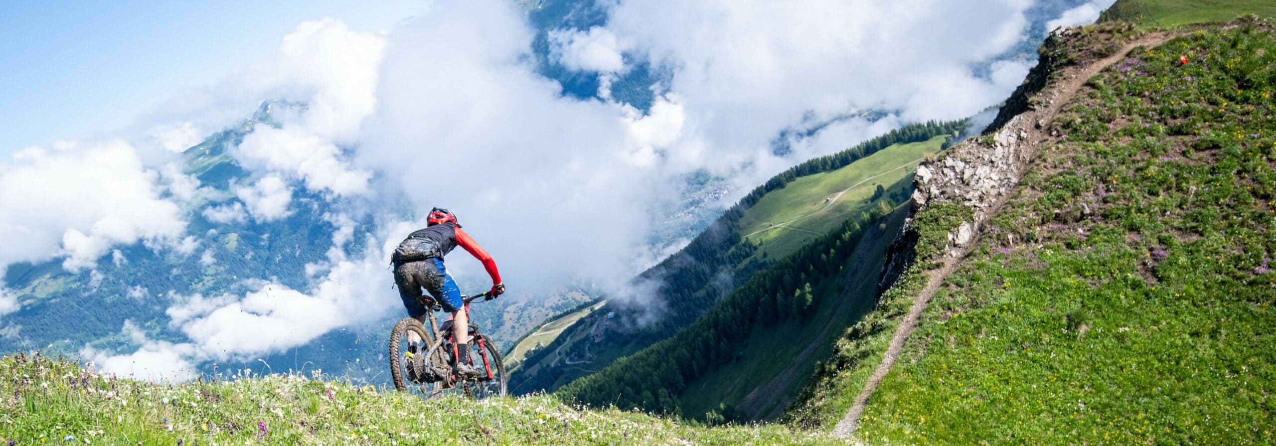
Le Grand8 est la promesse de parcourir à VTT les sentiers les plus secrets et les endroits les plus beaux de La Plagne. Avec un parcours spécialement étudié pour le VTT AE, à plus de 90% sur des « single tracks », chaque pilote pourra exploiter pleinement les capacités de sa machine aussi bien en montée qu’en descente. Montées rapides en forêts, ou raides et techniques en haute montagne, lignes de crêtes avec des panoramas inégalables et descentes enduro, voilà le cocktail Grand8 de deux journées qui resteront à coup sûr inoubliables.
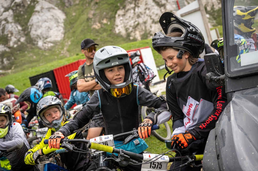
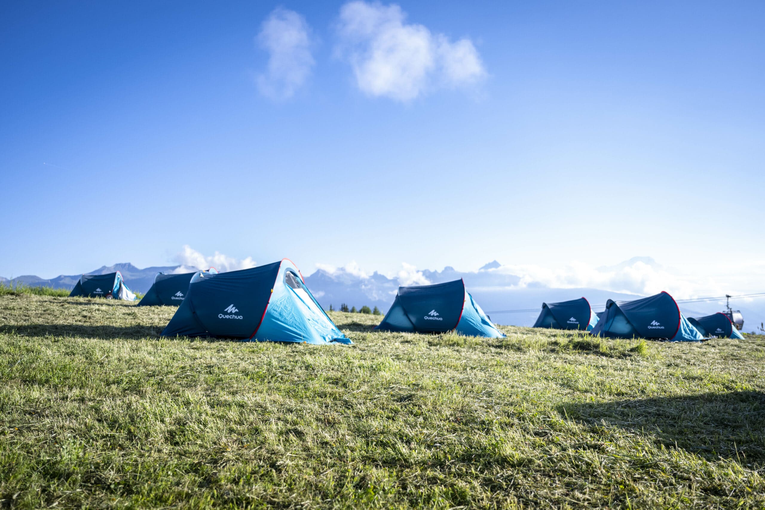
Course réservée aux pilotes élites et aux amateurs confirmés en VTT-AE, se déroulant sur 2 jours avec 1 nuit en bivouac au milieu de parcours et un départ en vallée.
50.58 km
2763 m
2908 m
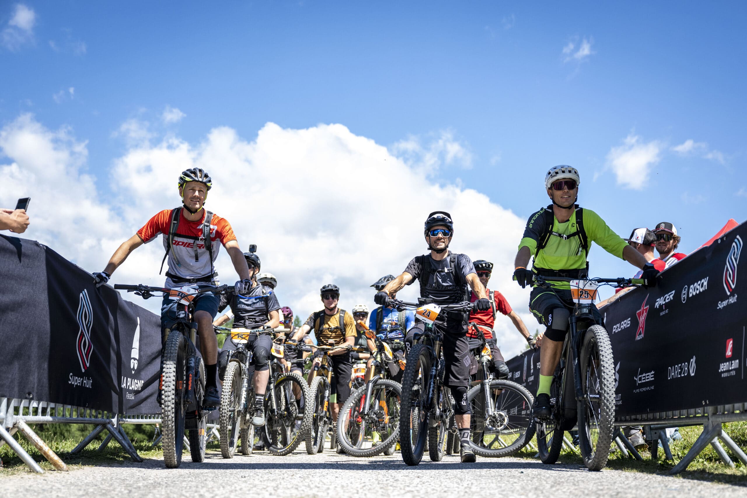
Une course idéale pour les amateurs avec des boucles successives à difficulté variable en forme de trèfle à quatre feuilles en « stop ou encore ».
La course se décline en 2 versions : VTT et VTTAE en individuel ou en équipe relai à 2.
Le camp de base sera établi à Plagne Bellecôte, les participants s’élanceront sur la 1ère boucle et pourront faire durer le plaisir selon leur état de forme et s’engager sur les boucles suivantes, toutes dotées de nouveaux points d’intérêt avec des paysages variés entre forêts et haute montagne.
Des points d’eau supplémentaires peuvent êtres mis en place en fonction des conditions météos annoncées le jour de la course, ceux-ci seront actualisés en amont de l’épreuve sur le site.
22.79 km
1015 m
1015 m
Une course idéale pour les amateurs avec des boucles successives à difficulté variable en forme de trèfle à quatre feuilles en « stop ou encore ».
La course se décline en 2 versions : VTT et VTTAE en individuel ou en équipe relai à 2.
Le camp de base sera établi à Plagne Bellecôte, les participants s’élanceront sur la 1ère boucle et pourront faire durer le plaisir selon leur état de forme et s’engager sur les boucles suivantes, toutes dotées de nouveaux points d’intérêt avec des paysages variés entre forêts et haute montagne.
Des points d’eau supplémentaires peuvent êtres mis en place en fonction des conditions météos annoncées le jour de la course, ceux-ci seront actualisés en amont de l’épreuve sur le site.
21.55 km
745 m
745 m
Une course idéale pour les amateurs avec des boucles successives à difficulté variable en forme de trèfle à quatre feuilles en « stop ou encore ».
La course se décline en 2 versions : VTT et VTTAE en individuel ou en équipe relai à 2.
Le camp de base sera établi à Plagne Bellecôte, les participants s’élanceront sur la 1ère boucle et pourront faire durer le plaisir selon leur état de forme et s’engager sur les boucles suivantes, toutes dotées de nouveaux points d’intérêt avec des paysages variés entre forêts et haute montagne.
Des points d’eau supplémentaires peuvent êtres mis en place en fonction des conditions météos annoncées le jour de la course, ceux-ci seront actualisés en amont de l’épreuve sur le site.
23.7 km
1152 m
1152 m
Une course idéale pour les amateurs avec des boucles successives à difficulté variable en forme de trèfle à quatre feuilles en « stop ou encore ».
La course se décline en 2 versions : VTT et VTTAE en individuel ou en équipe relai à 2.
Le camp de base sera établi à Plagne Bellecôte, les participants s’élanceront sur la 1ère boucle et pourront faire durer le plaisir selon leur état de forme et s’engager sur les boucles suivantes, toutes dotées de nouveaux points d’intérêt avec des paysages variés entre forêts et haute montagne.
Des points d’eau supplémentaires peuvent êtres mis en place en fonction des conditions météos annoncées le jour de la course, ceux-ci seront actualisés en amont de l’épreuve sur le site.
11.14 km
575 m
575 m
Une course idéale pour les amateurs avec des boucles successives à difficulté variable en forme de trèfle à quatre feuilles en « stop ou encore ».
La course se décline en 2 versions : VTT et VTTAE en individuel ou en équipe relai à 2.
Le camp de base sera établi à Plagne Bellecôte, les participants s’élanceront sur la 1ère boucle et pourront faire durer le plaisir selon leur état de forme et s’engager sur les boucles suivantes, toutes dotées de nouveaux points d’intérêt avec des paysages variés entre forêts et haute montagne.
Des points d’eau supplémentaires peuvent êtres mis en place en fonction des conditions météos annoncées le jour de la course, ceux-ci seront actualisés en amont de l’épreuve sur le site.
19.29 km
1329 m
35 m
0.8 km
0 m
95 m
1.46 km
0 m
154 m
1.25 km
0 m
131 m
1.01 km
0 m
119 m


 Trail Connect